// Service Catalog
Six Ways We Fly For You
Outdoor missions on the DJI Mini 5 Pro. Indoor missions on the DJI Neo 2. Every flight is planned, legal, and insured.
OUTDOOR
SVC-01
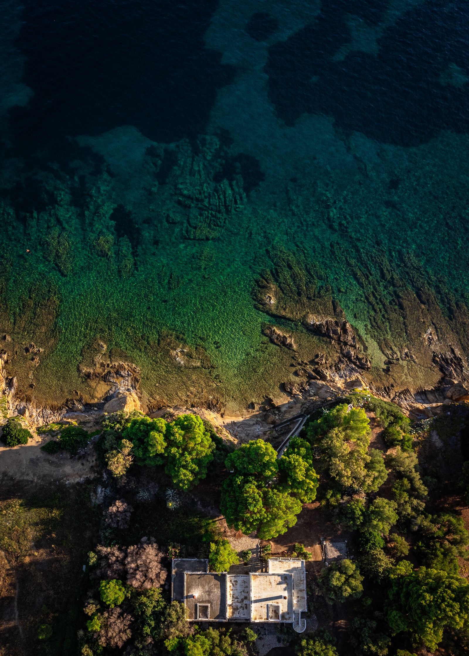
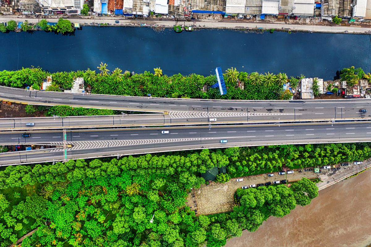
Aerial Photo & Video
Cinematic aerial media for marketing, events and documentation — shot in 4K with pro filtration.
OUTDOOR
SVC-02
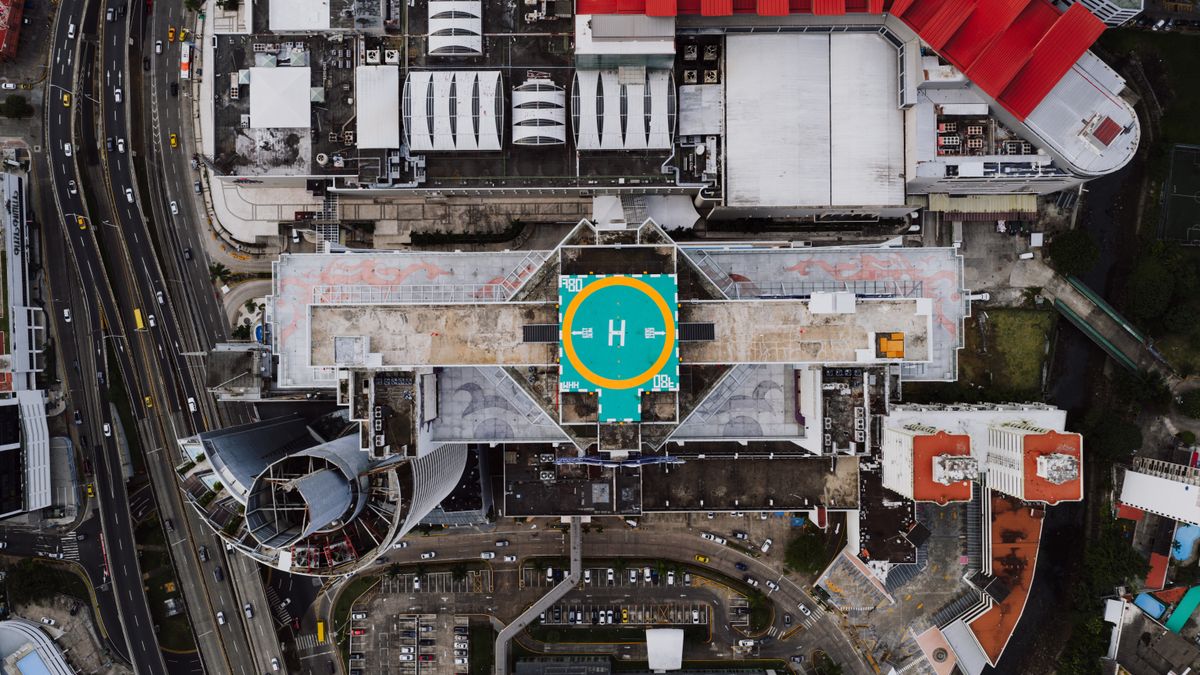
Real Estate Aerial Tours
Listings that stop the scroll. Property flyovers, boundary context and neighbourhood reveals.
OUTDOOR
SVC-03
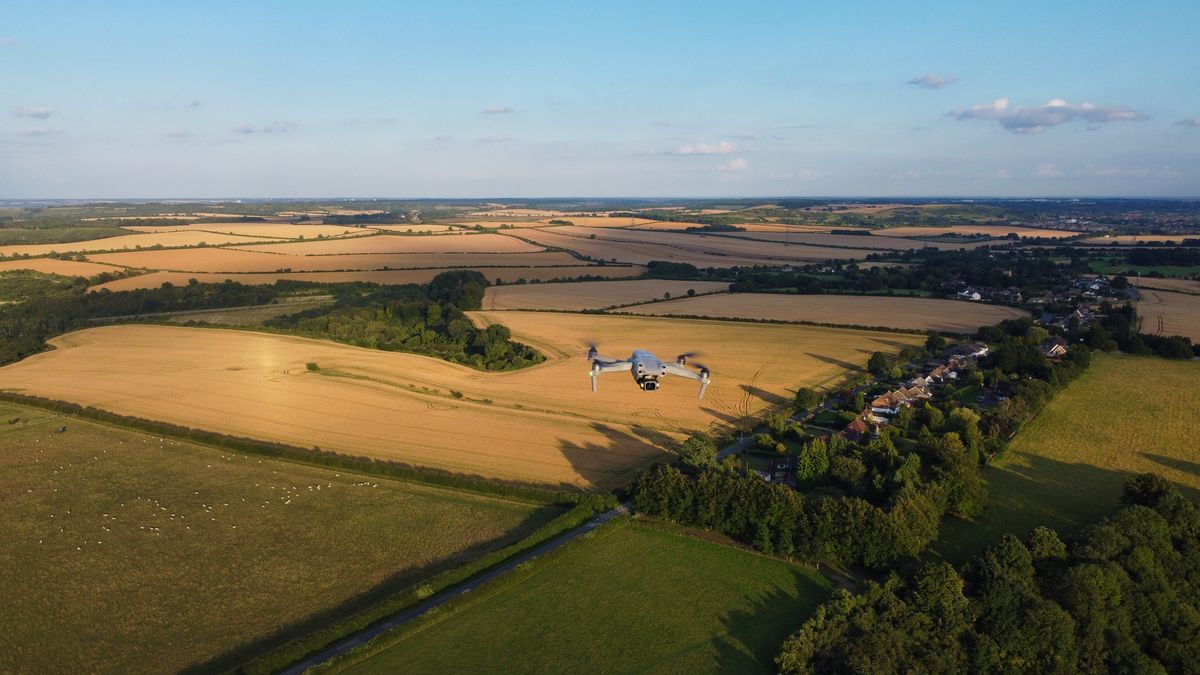
3D Site Models
Photogrammetry-built 3D models and orthomosaics for planning, measurement and progress tracking.
OUTDOOR
SVC-04
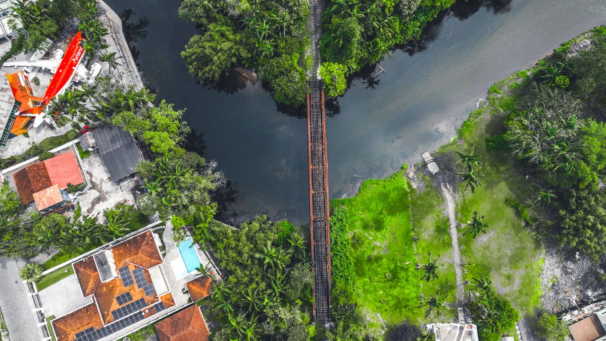
Roof & Exterior Inspections
High-detail imagery of roofs, facades and hard-to-reach assets — no ladders, no scaffolding, no risk.
INDOOR
SVC-05
Indoor Walkthroughs & Tours
Smooth fly-through tours of interiors, warehouses and venues with a compact, prop-guarded aircraft.
INDOOR
SVC-06
Event Coverage
Dynamic indoor event footage from angles a camera crew can't reach — safely and quietly.